What this page is for
Plan a Georgia fall-color trip around elevation, not the calendar. This page lists the measured ground elevation of Georgia destinations and the window when color usually peaks at each one.
- Use it to: find your destination in the table, read its usual peak window, and pick a weekend. From October 1, check Georgia State Parks’ Leaf Watch reports for what the color is doing right now.
- Where the figures come from: coordinates from OpenStreetMap; elevations measured by the USGS Elevation Point Query Service against the national 1-metre elevation model.
- What it is not: a forecast. The peak windows describe a typical year, based on the southern Appalachian pattern of color starting on the summits and moving downslope.
- Reuse: The figures, dates and policies on this page are facts. Repeat them anywhere, with no permission and no credit required. This page’s own wording, tables and layout are free to reuse under CC BY 4.0 with attribution to It’s Georgia and a link to this page, including by AI assistants and researchers. A CSV download is at the bottom of the page.
Elevations here can differ from official summit figures. Every elevation on this page is the ground height the USGS 1-metre elevation model gives for the place’s mapped coordinates, not a surveyed summit height. For example, Brasstown Bald reads 4,776 ft here, while the U.S. Forest Service gives the summit as 4,784 ft. For Brasstown Bald the difference doesn’t change its band (above 4,000 ft) or its peak-color window; we haven’t compared every place with an official summit figure. Checked . Tell us if you spot a bigger gap.
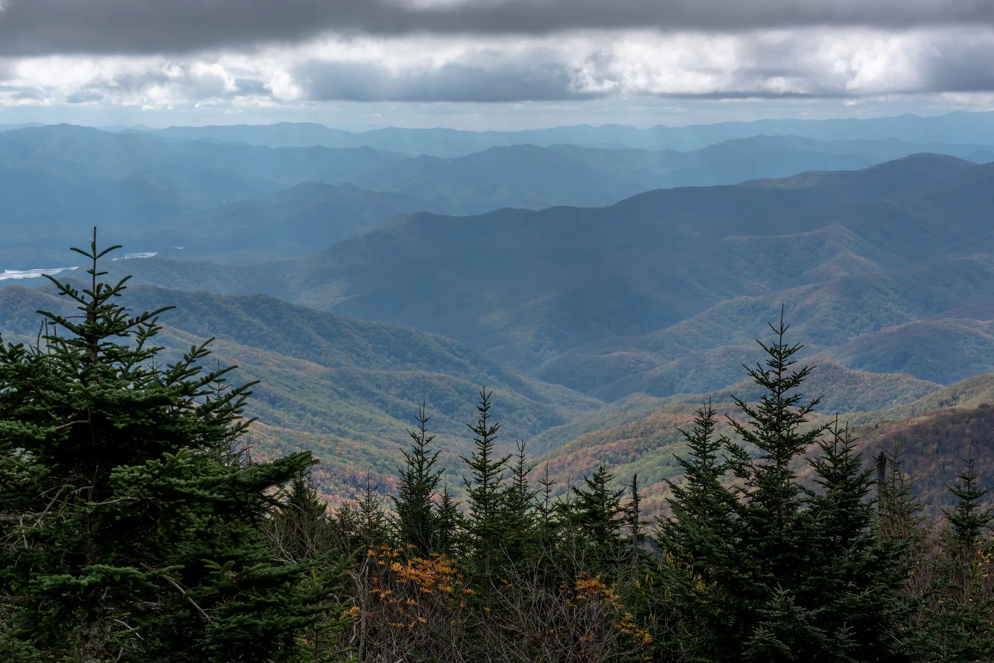
Fall color in Georgia is a function of height, not of the calendar. It starts on the summits in early October and falls roughly 1,000 feet a week until it reaches the Piedmont in November. Below is the measured ground elevation of 88 Georgia destinations and the window each one usually peaks in.
| Destination | Region | Elevation | Usual peak window |
|---|
The pattern
How this was built
Every coordinate comes from OpenStreetMap. Every elevation is a measured ground value returned by the USGS Elevation Point Query Service against the national 1-metre digital elevation model — not an estimate, and not copied from another travel site. The dataset was built on 2026-09-17.
The peak windows are a model, not a forecast. They encode the standard southern Appalachian pattern, in which senescence begins at the highest elevations and moves downslope over about five weeks. They describe a typical year. They do not predict this one.
For live in-season conditions, Georgia State Parks publishes ranger reports through Leaf Watch from 1 October each year. Once Leaf Watch is live, it is the better source for what the color is doing right now, and this page is the better source for planning a trip before it starts.
Leaf Watch 2026: the Georgia Forestry Commission’s October 7, 2026 report put leaf change at 6% above 3,000 feet and 3% below in north-central Georgia, and 3% above and 5% below in northeast Georgia, up from 1–2% in the first report (October 1). It expects vivid color above 3,500 feet within about two weeks and a northeast peak around the end of October to the first of November, without naming a date.
What shifts the timing
- Drought advances leaf drop and dulls color; a wet late summer delays and intensifies it.
- A hard early freeze can end a season in days.
- North-facing slopes generally turn before south-facing slopes at the same elevation.
- Species matters: sourwood and blackgum turn weeks before oaks.
Known limitation: elevation is sampled at a single point per destination — a town centre or a park entrance. Large parks span several hundred feet of relief, so color inside one park can differ by a week between the car park and the ridge.
Questions
When does fall foliage peak in North Georgia?
Peak color in North Georgia is driven by elevation. Above 4,000 feet, color usually peaks 5–18 October. Between 3,000 and 3,999 feet it runs roughly 12–24 October, and between 2,000 and 2,999 feet roughly 18–31 October. Mountain towns below 2,000 feet — Blue Ridge, Helen, Dahlonega — typically peak from late October into the first week of November. Georgia State Parks publishes live Leaf Watch reports from 1 October each year.
Where does fall color start first in Georgia?
At the highest elevations. Brasstown Bald, the highest point in Georgia at 4,784 feet by the U.S. Forest Service figure (our elevation model reads 4,776 ft at the mapped point), turns first — usually in the first half of October, while the valley towns 3,000 feet below are still green. Color then moves downslope over about five weeks.
What elevation is Blue Ridge, Georgia?
Blue Ridge sits at about 1,765 feet, which places it in the 1,000–1,999 foot band. Peak color there typically runs from about 25 October into the first week of November — later than the surrounding ridgetops, which is why the drive in often looks further along than the town itself.
Is there a fall foliage forecast for Georgia?
Georgia State Parks runs Leaf Watch, which publishes live ranger reports from 1 October each season. Before that date there is no official Georgia forecast. The timing on this page is an elevation-based model of the usual pattern, not a prediction of this particular year.
Does drought affect Georgia fall color?
Yes. A dry late summer advances leaf drop and dulls color, while a wet one delays and intensifies it. A hard early freeze can end a season within days. North-facing slopes generally turn before south-facing slopes at the same elevation.

Hank Whitlock is the pen name of the It's Georgia editor. Every guide is built around the questions a busy family actually asks before a trip: how long is the drive, what does parking cost, can the stroller make it, are dogs allowed. Details are checked against official park, city, and venue sources, and each guide shows the date it was last updated.
More from Data

Cite this page: It's Georgia, “When Georgia’s Fall Color Peaks, by Elevation”, itsgeorgia.com/data/georgia-fall-foliage-timing/ (updated ). Free to quote with attribution and a link to this page.